

This study employs the Support Vector Machine (SVM) method as an analytical tool to estimate the biophysical carrying capacity of each major island in Indonesia for the cultivation of oil palm plantations. The results of the analysis indicate that the upper limit or threshold (cap) for oil palm plantations across the country is approximately 18,148,602.96 hectares, or 18.15 million hectares. This figure represents the maximum area that can be sustainably allocated for oil palm cultivation without exceeding environmental limits.
The spatial distribution of this threshold is not uniform across Indonesia. The island of Sumatra holds the largest share, with a carrying capacity of 10.70 million hectares, followed by Kalimantan with 6.61 million hectares. Meanwhile, Java is only capable of supporting around 0.04 million hectares, reflecting its high population density and limited land availability. In Sulawesi, the figure stands at 0.48 million hectares, while the Maluku Islands can accommodate 0.03 million hectares. Papua has a threshold of 0.29 million hectares, and Bali-Nusa Tenggara registers a carrying capacity of zero, indicating that this region is not suitable for oil palm expansion due to ecological and land constraints.
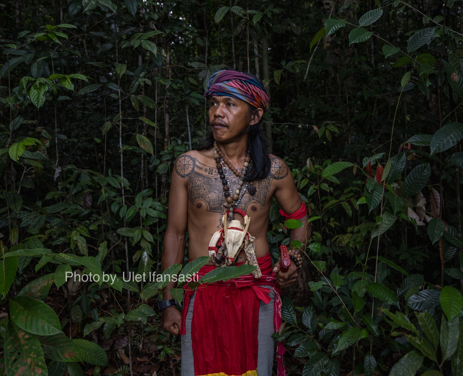
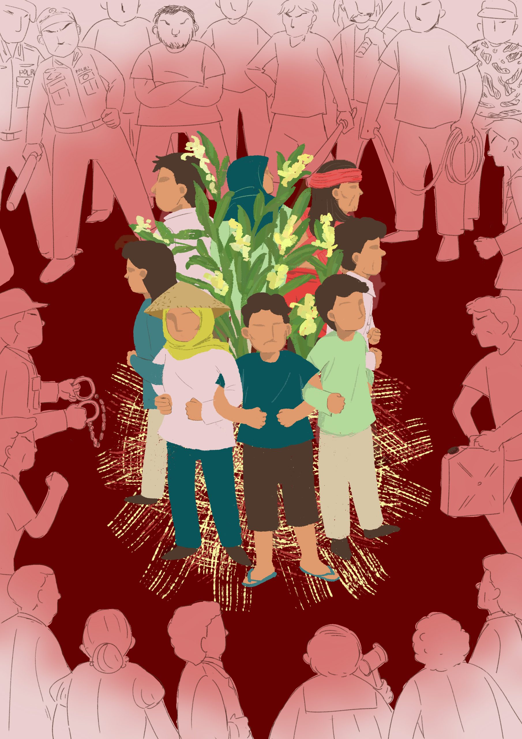
This research is especially relevant and urgent in the current policy context. Indonesia’s existing oil palm plantation area has already reached 17.8 million hectares, which means it is rapidly approaching the upper environmental limit identified in this study. The findings should serve as a critical warning to policymakers: any further expansion of oil palm cultivation risks pushing the country beyond its ecological carrying capacity. If expansion continues unchecked, it may trigger severe environmental consequences, including deforestation, biodiversity loss, and increased greenhouse gas emissions. Therefore, this study provides essential data to support the development of a more sustainable, evidence-based national strategy for managing oil palm expansion.